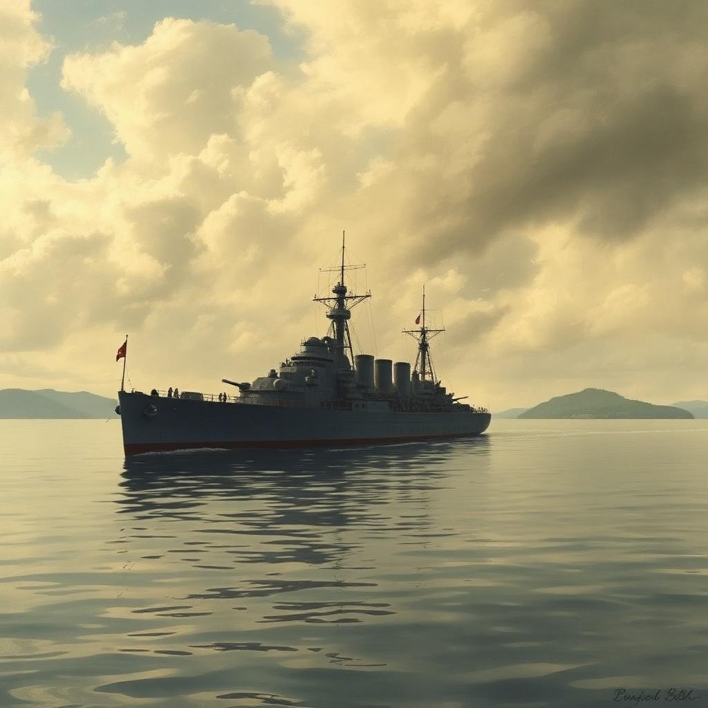
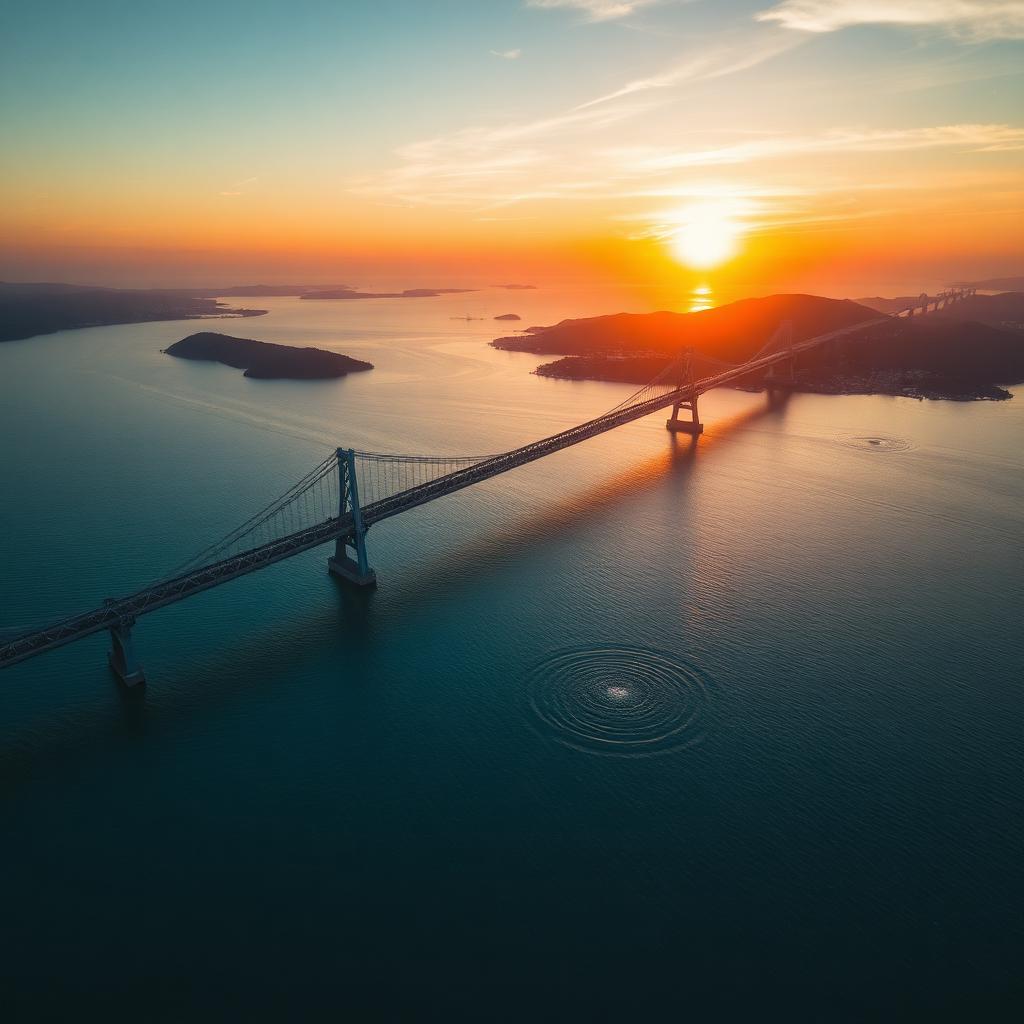
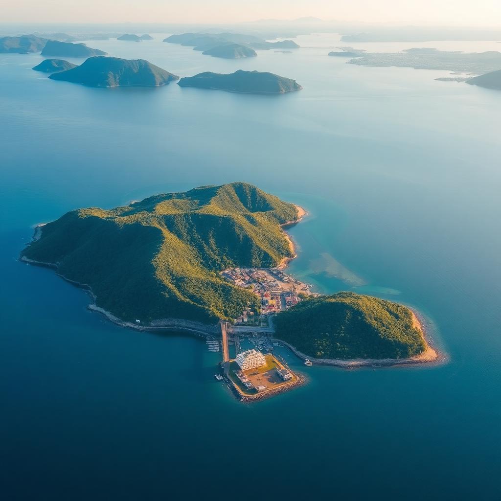
Aerial view of Suo-Oshima island in the Seto Inland Sea at golden hour

Island Guide · 島

Suo-Oshima

周防大島 · Yashirojima

The "Hawaii of Setouchi" — Japan's third-largest Seto Inland Sea island, home to mikan orchards, palm-lined beaches, and a 140-year emigration story that still shapes the Pacific.

Location

Yamaguchi Prefecture, southeast Seto Inland Sea

Area

≈ 138.09 km² across four islands (Yashiro, Okikamuro, Hakata, Ukeshima)

Population

≈ 14,600 residents · ~55% aged 65+

Access

Oshima Ōhashi bridge (opened 1976) from Yanai / Ōbatake

Climate

Mild Setouchi climate · ~1,400 mm rainfall · warm winters

Famous for

Mikan citrus, beaches, Hawaii sister-state ties, kintaro-ame

An island shaped by the sea — and by leaving it

Suo-Oshima (officially the town of Suō-Ōshima-chō, 周防大島町) sits off the southeast coast of Yamaguchi Prefecture, roughly halfway between Hiroshima and the Kanmon Strait. Its main body, Yashirojima (屋代島), is the third-largest island in the Seto Inland Sea — after Awaji and Shōdoshima — and the town collectively covers Yashirojima and three inhabited satellite islands.

The Oshima Ōhashi, a 1,020-meter bridge opened in 1976, connects the island to the mainland at Ōbatake. Before the bridge, generations of islanders lived by ferry schedules and small coastal freighters — a maritime rhythm that still defines the outer villages.

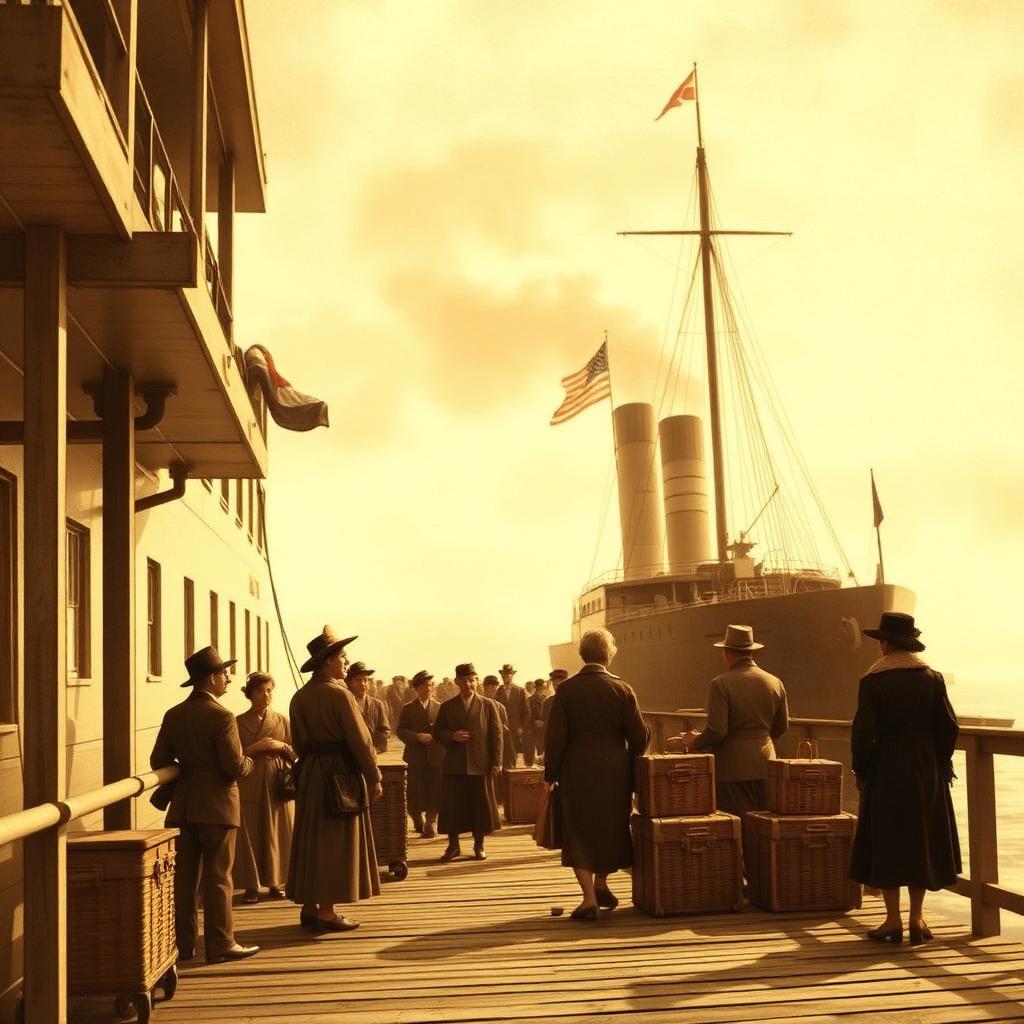
Suo-Oshima is celebrated as the "Hawaii of Setouchi" (瀬戸内のハワイ). The nickname is not just marketing: between 1885 and 1894, nearly 3,900 islanders emigrated to Hawaii as contract sugarcane workers under the Kanyaku Imin program — the largest single-region contribution in Japan. Those families' descendants still visit today, and Suo-Oshima-chō is formally a sister city of Kauai.
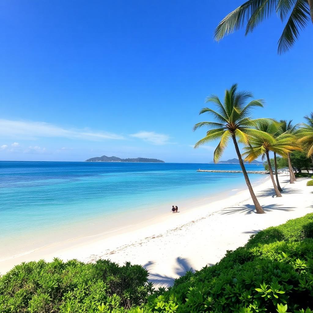
Palm-lined beach on Suo-Oshima with turquoise Seto Inland Sea water
Kataha-style beach — the reason the island is called the Hawaii of Setouchi.
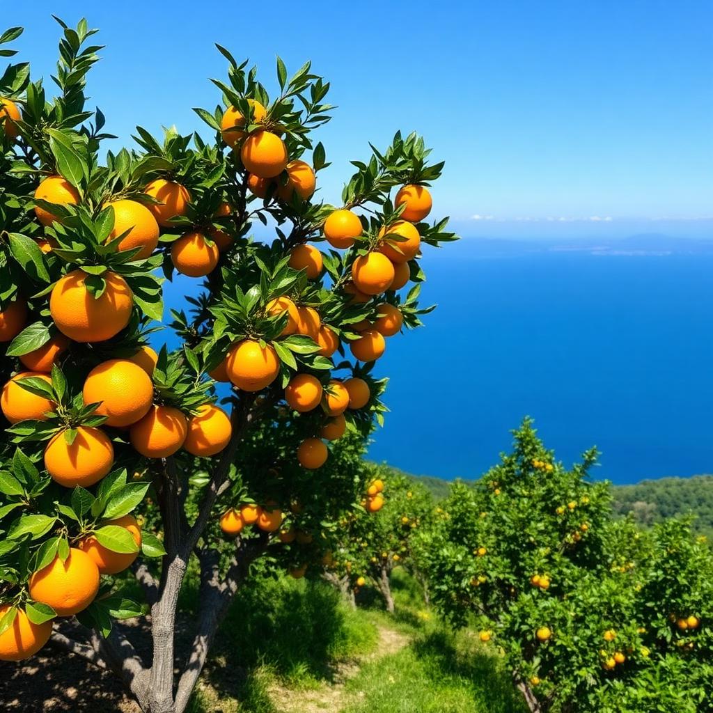
Ripe mikan citrus on a hillside orchard overlooking the Seto Inland Sea
Terraced mikan orchards produce roughly half of Yamaguchi's satsuma harvest.
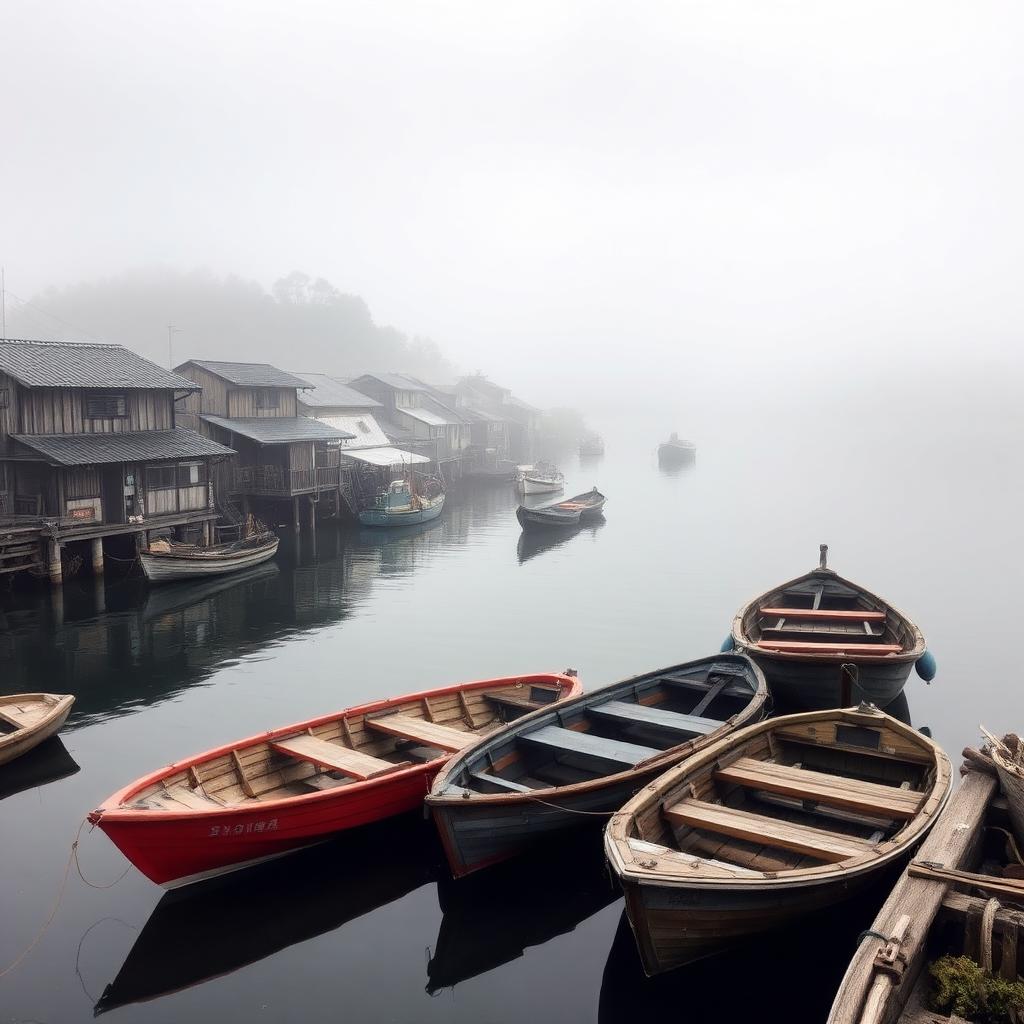
Traditional wooden fishing boats in a misty harbor on Suo-Oshima
The satellite fishing villages — Okikamuro, Hakata, Ukeshima — still run on small-boat logistics.

What defines Suo-Oshima

The 'Hawaii of Setouchi'

In the Meiji era, Suo-Oshima sent more emigrants to Hawaii than almost any other place in Japan — roughly 3,900 people between 1885 and 1894. That bond is still living: the town is a sister city of Kauai, and the Nihon Hawaii Iminshiryōkan (Japanese Emigration Museum) preserves letters, photographs, and artifacts from those first Issei generations.

Mikan capital of Yamaguchi

Roughly half of Yamaguchi Prefecture's mikan (satsuma mandarin) come from Suo-Oshima's terraced hillsides. The mild climate, granite soils, and reflected light off the Inland Sea produce citrus prized for balanced sweetness and acidity. Winter roadside stands sell fruit straight from family orchards.

Beaches & the Setouchi coast

Kataha, Katazoe, and Ihoya beaches draw swimmers, campers, and windsurfers from June through September. Coastal parks like Nagisa Park and the Kirara Suo-Oshima roadside station make it one of the most beach-oriented islands in the Inland Sea.

Depopulation & why it matters

Like most ritō (離島), Suo-Oshima is aging fast — roughly 55% of residents are 65 or older, one of the highest rates in Honshū. Schools have consolidated, ferries to smaller satellite islands have thinned, and orchards go unharvested when successors don't return. It is a bellwether for what small-scale logistics, cultural preservation, and youth programs need to solve.

Places to know

Why Suo-Oshima matters to Rito Saisei Bridge

Suo-Oshima is the archetype of the challenges — and the opportunities — Rito Saisei Bridge exists to address. Bridged but still remote, agriculturally rich but demographically strained, culturally distinctive but under-resourced for the next generation.

Small-scale maritime logistics between the satellite islands, cultural preservation partnerships with the emigration museum, and a youth surf & skate pathway on the Setouchi coast all fit here naturally. It is one of the first islands we are studying in depth as we build out the 2026–2028 operational plan.